Data layers and location intelligence: What EstateFoxy adds beyond price
A detailed guide to amenities, demographics, terrain, coast distance, land cover, risks, and other location evidence in EstateFoxy.
Data layers and location intelligence: What EstateFoxy adds beyond price
Price is only one part of a real-estate decision. Two areas can have similar asking prices and very different stories. One may have stronger amenities, better access, better terrain, less environmental risk, closer sea proximity, more stable demand, or more attractive land-cover context. EstateFoxy is built to help professionals read those differences in a structured way.
The product uses data layers to turn location into evidence. These layers do not replace local expertise. They organise it. They help an agent, valuer, investor, or team explain why an area behaves the way it does.
Amenities and local services
Amenities are one of the easiest location signals for clients to understand. Restaurants, pharmacies, schools, supermarkets, transport, and daily-service points shape how people experience an area. EstateFoxy can attach amenity context to H3 cells so users can quickly see whether a micro-market is convenience-rich, sparse, specialised, or mixed.

The business value is not just a count. The value is interpretation. A high restaurant count may matter for short-term rental potential, but a pharmacy or school may matter more for family housing. A professional report should therefore describe amenity mix rather than only showing totals.
Demographics
Demographic context helps users understand demand and settlement structure. Population, age structure, household patterns, or community data can change the reading of a location. A property in an area with stable residential population may be interpreted differently from a property in a seasonal or tourism-heavy area.

EstateFoxy treats demographic data as contextual evidence. If it is available, it enriches the selected area. If it is pending, the app should say that clearly. Showing zero for missing demographic data would be misleading, so the platform uses pending and unavailable states.
Terrain and physical context
Terrain can affect development, access, views, construction cost, and buyer perception. Slope, elevation, and aspect may matter strongly in Greece, especially in coastal, island, mountain, or semi-rural areas.
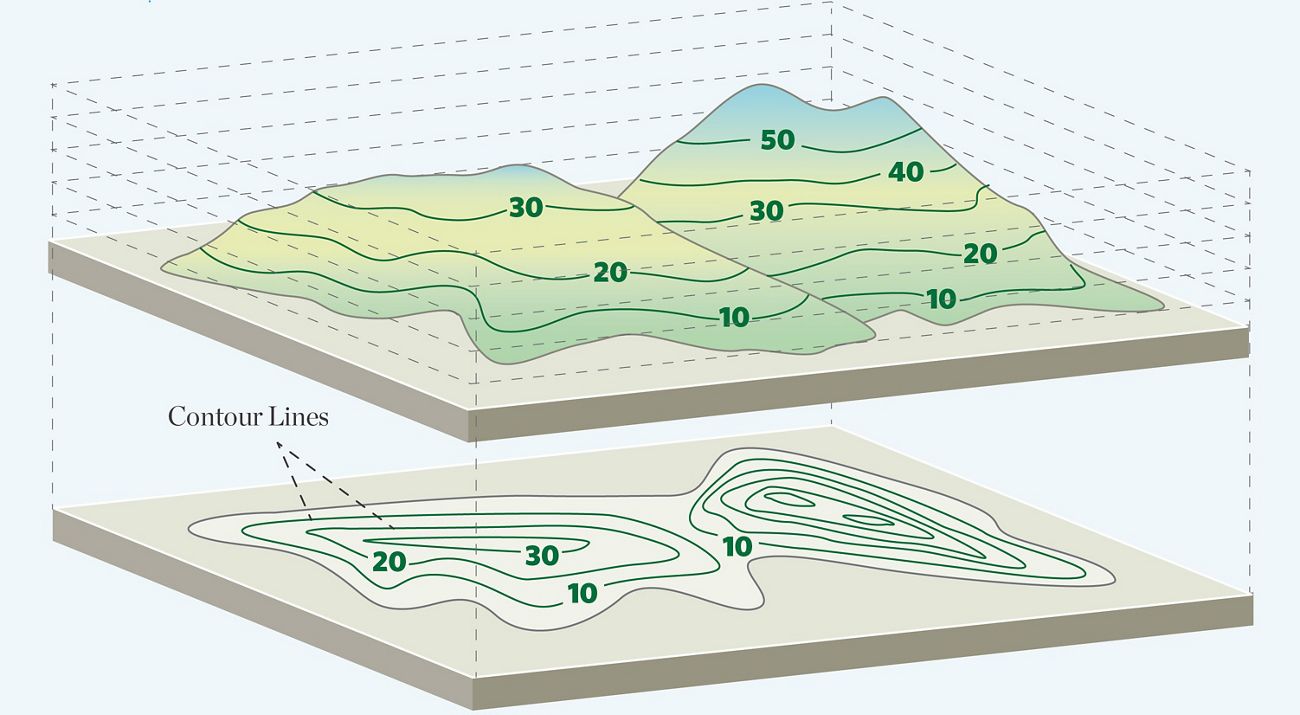
Terrain indicators help users move beyond simple map appearance. A cell may look close to amenities but have difficult slope. Another may have stronger views or solar exposure. These signals are useful for both land and house analysis.
Distance to sea
Distance to sea is a major real-estate factor in many Greek markets. It affects lifestyle, investment demand, seasonality, and pricing expectations. EstateFoxy can expose distance-to-coast evidence at H3 level so the user can compare areas consistently.

The important logic is consistency. If every selected area uses the same distance method, users can compare locations without relying only on intuition. The report can then explain whether sea proximity supports premium positioning or whether other evidence matters more.
Land cover and environmental context
Land cover helps explain the physical character of an area. Urban fabric, agricultural land, forest, water, wetlands, or mixed-use surroundings can change development logic and buyer expectations.

For land analysis, land cover can be especially useful. It does not decide planning permission, but it helps the user understand context. It can also highlight whether a selected H3 cell is mostly urban, rural, natural, or mixed.
Risks and constraints
Risk evidence helps users avoid narrow price-only decisions. Some risks are environmental. Others relate to proximity, infrastructure, or sensitive land-use features. EstateFoxy presents risk context as part of the evidence stack, not as a final judgement.

This is important for client communication. A professional may say, "The price level is attractive, but the risk context requires caution." That kind of balanced statement is more useful than a single score.
Solar, weather, and climate signals
Solar and weather context can matter for energy, comfort, development, and long-term investment decisions. EstateFoxy can include these indicators where available so professionals can connect market advice with environmental reality.


These layers are especially useful when combined with terrain. Slope, aspect, elevation, solar potential, and weather patterns can all shape how a location performs.
Why layers must be read together
No single layer explains an area. A location with strong amenities may have weak market activity. A coastal area may have strong demand but higher risk or seasonal volatility. A rural cell may have low listing count but high land opportunity. EstateFoxy is designed so users can inspect multiple layers and build a grounded interpretation.

The product logic is layered:
- Market data explains price and activity.
- Amenities explain daily-life and commercial context.
- Demographics explain demand structure.
- Terrain and coast distance explain physical location quality.
- Land cover explains area character.
- Risks explain caution and limitation.
- Trends explain movement over time.
Practical takeaway
EstateFoxy adds value by connecting price to place. The app gives real-estate professionals a structured way to explain why one micro-market differs from another. That makes advice clearer, reports stronger, and client conversations more evidence-based.
Visual catalogue of the evidence library
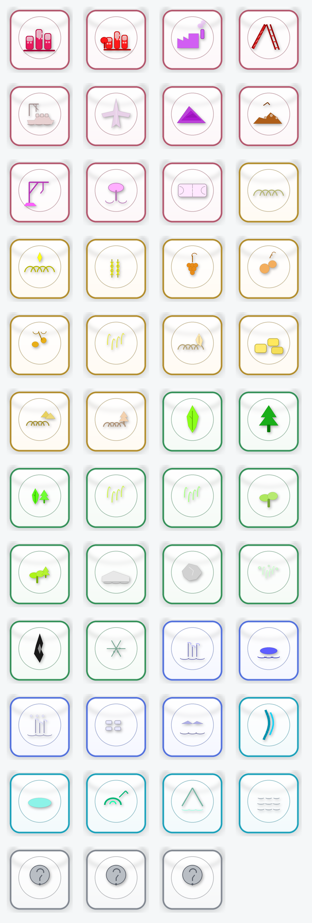
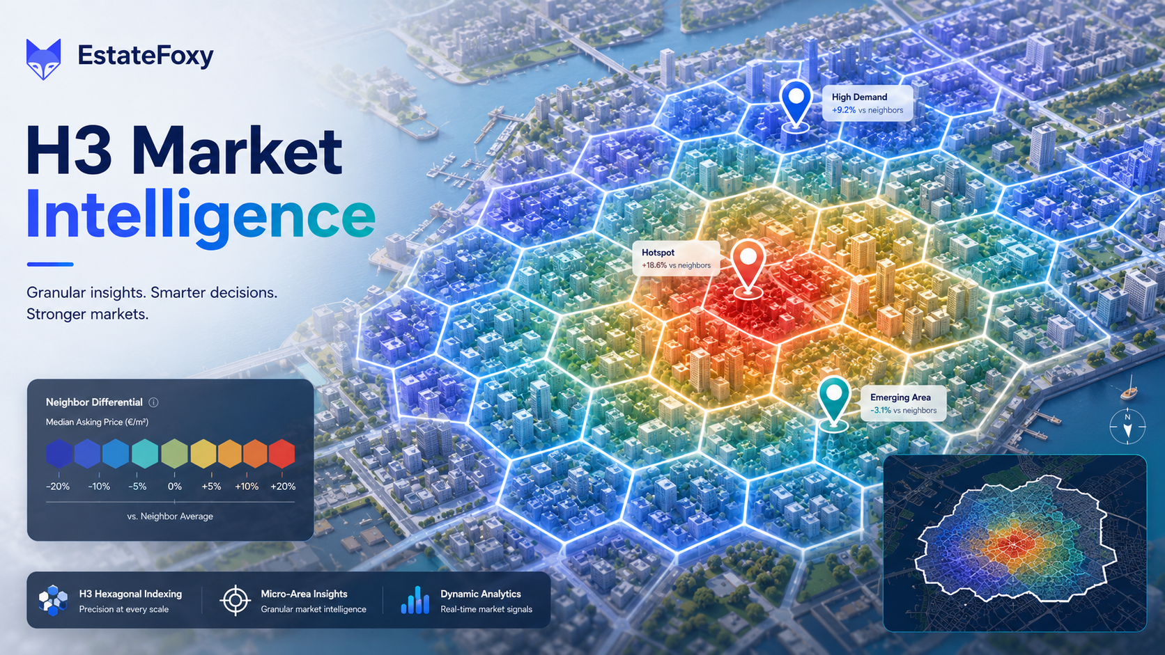
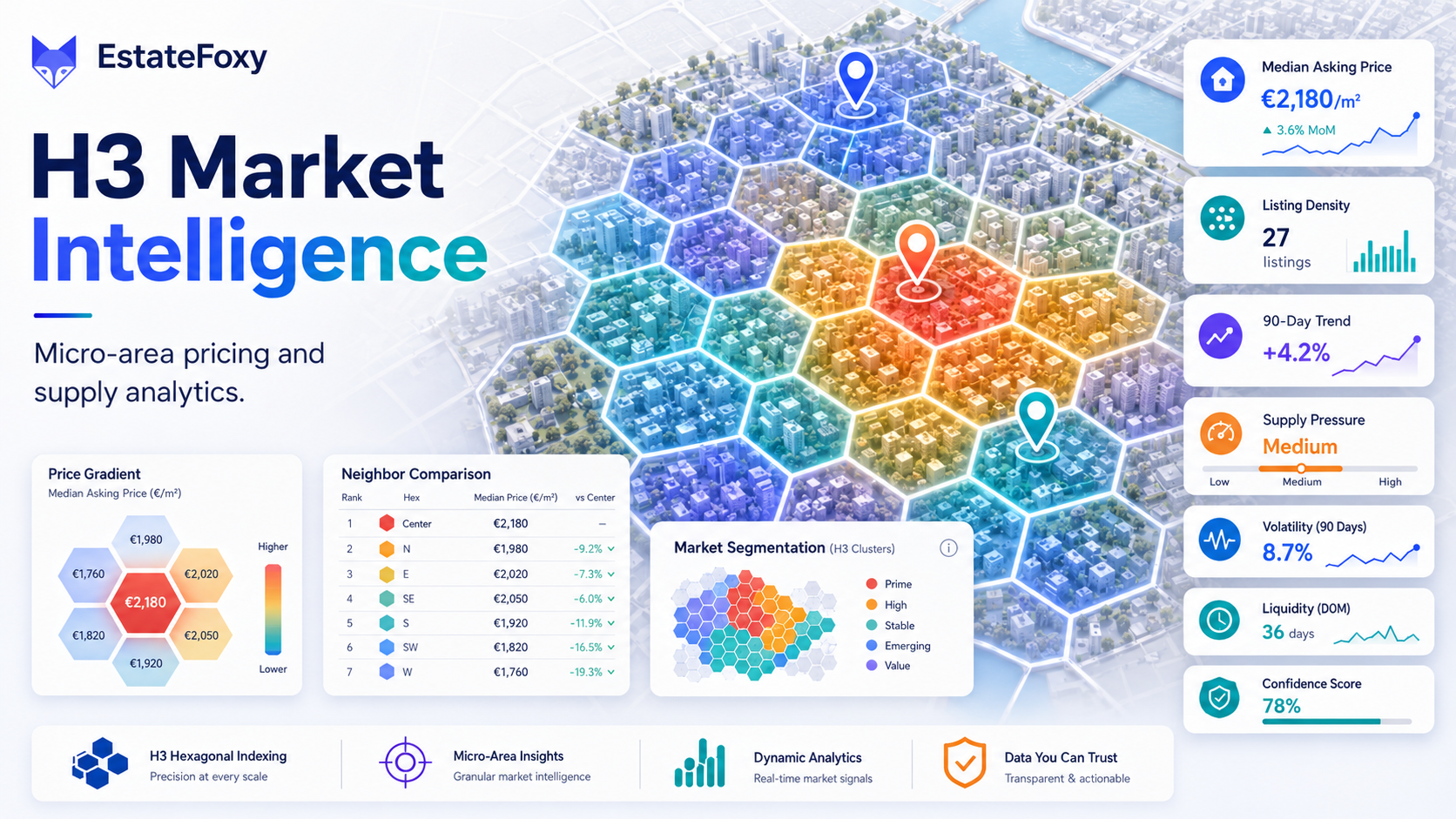
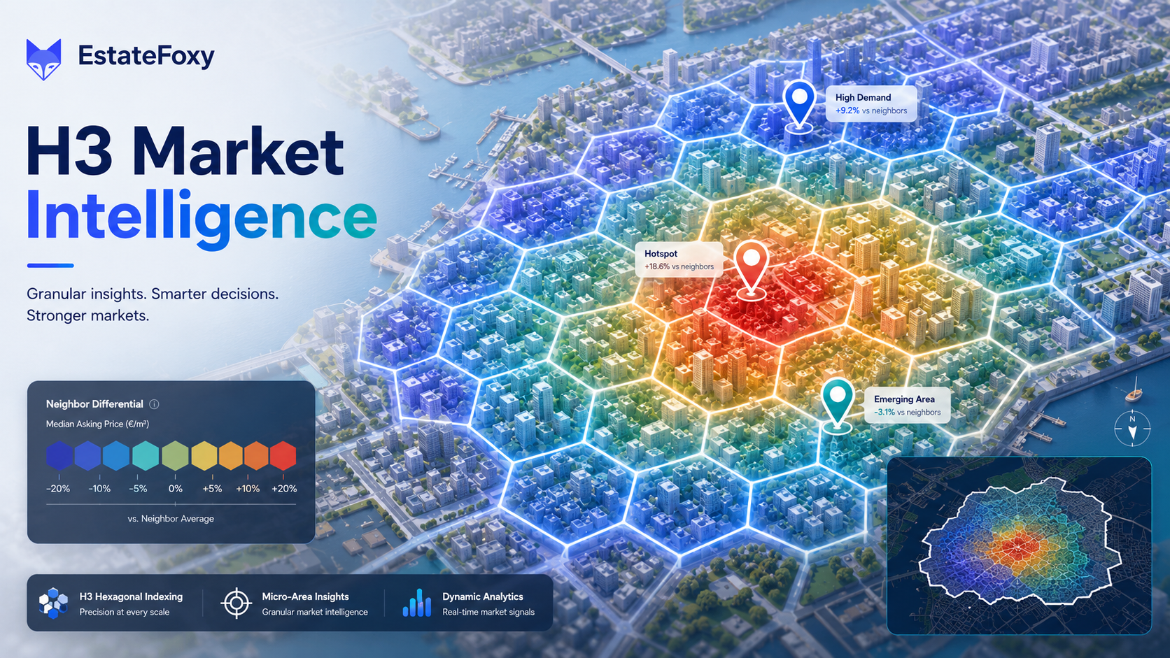
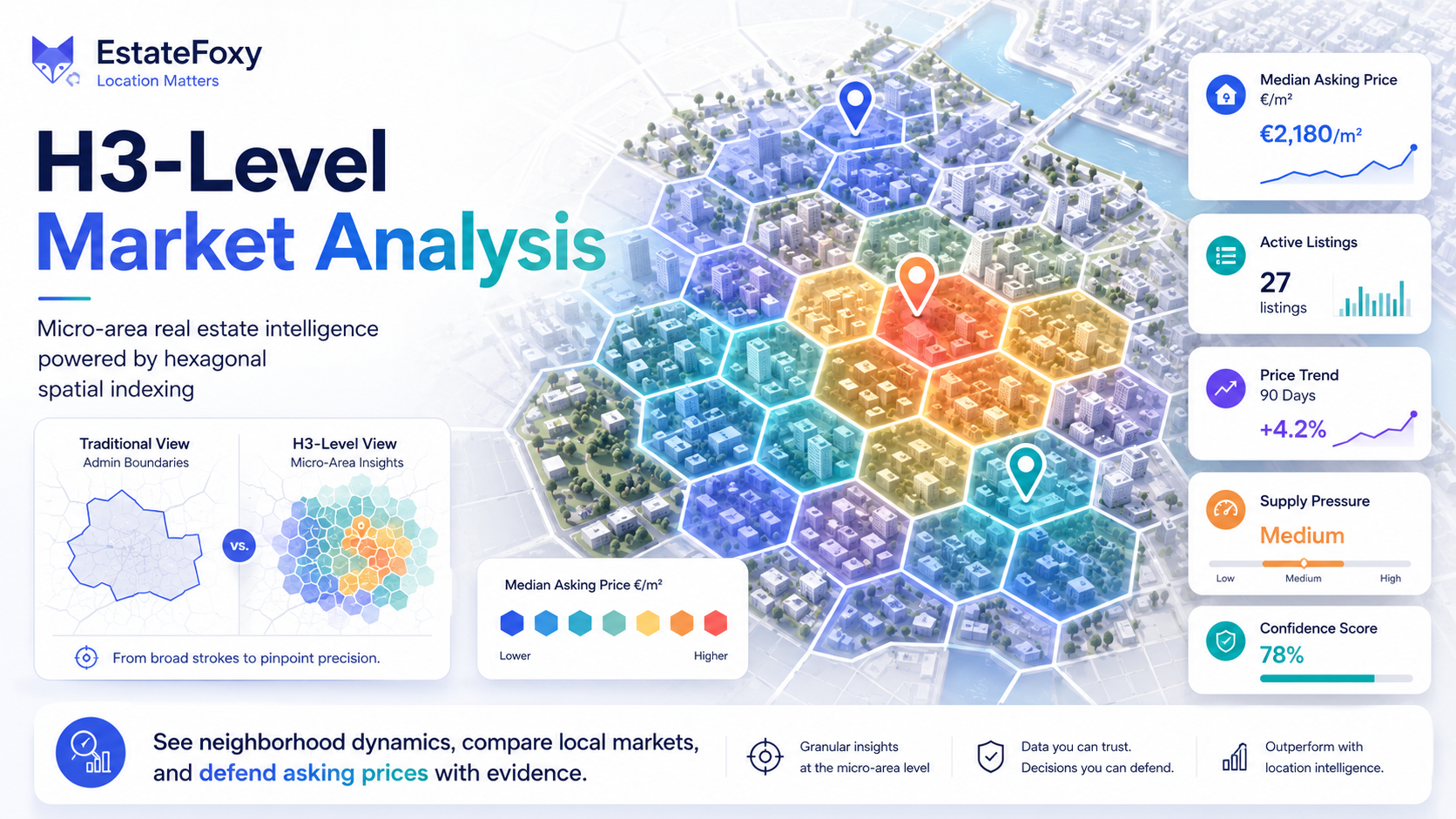
The blog intentionally uses the same media families as the product because these visuals explain the app faster than abstract descriptions. The numbered data images below represent the broader evidence library used across the landing page, data-layer cards, product explanations, and blog posts.
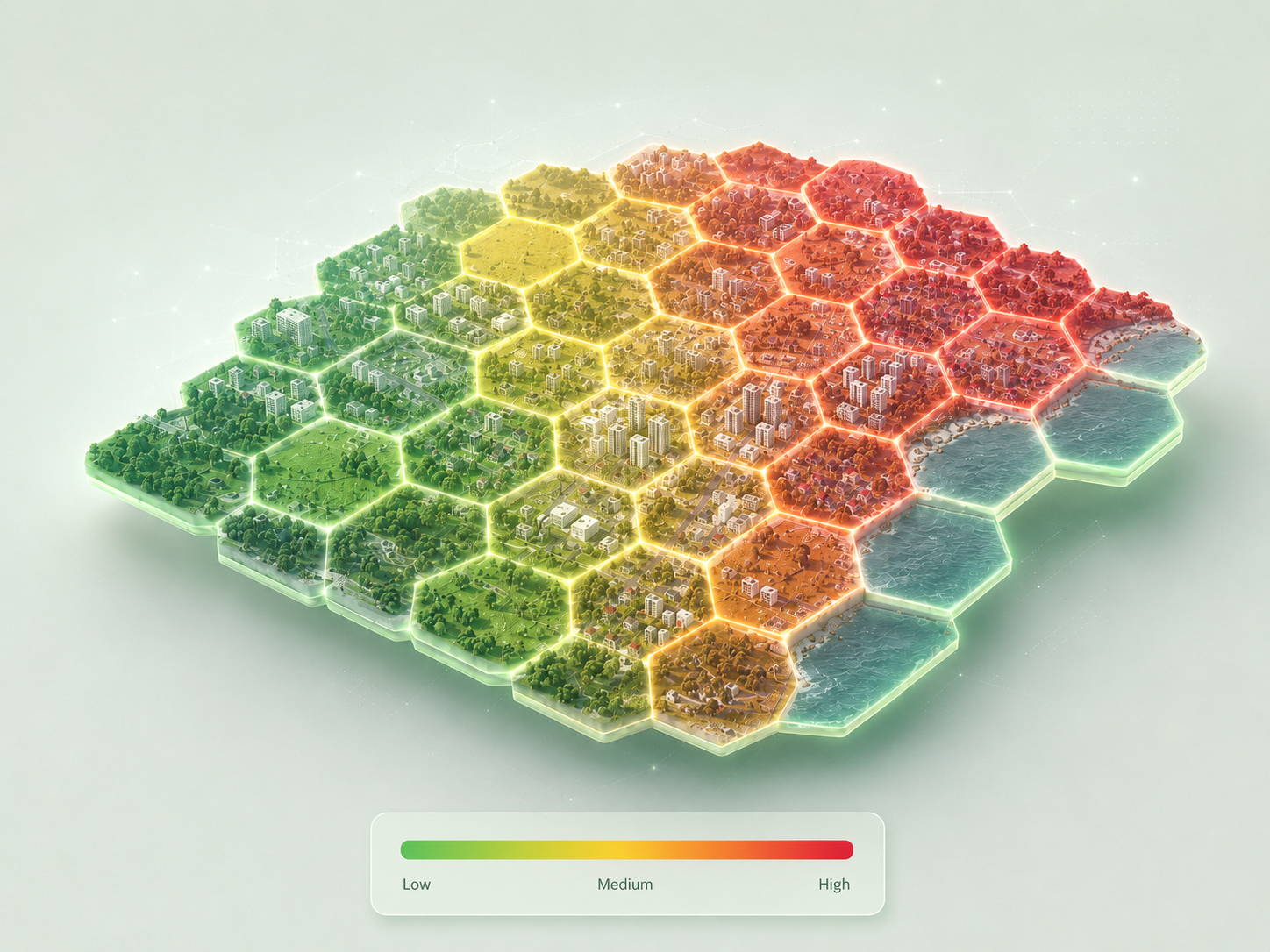
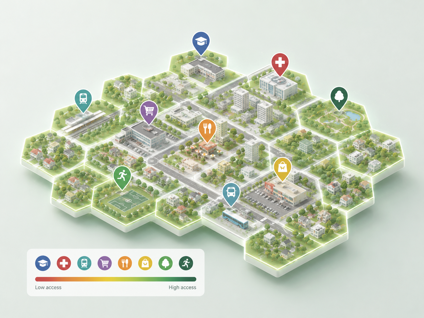
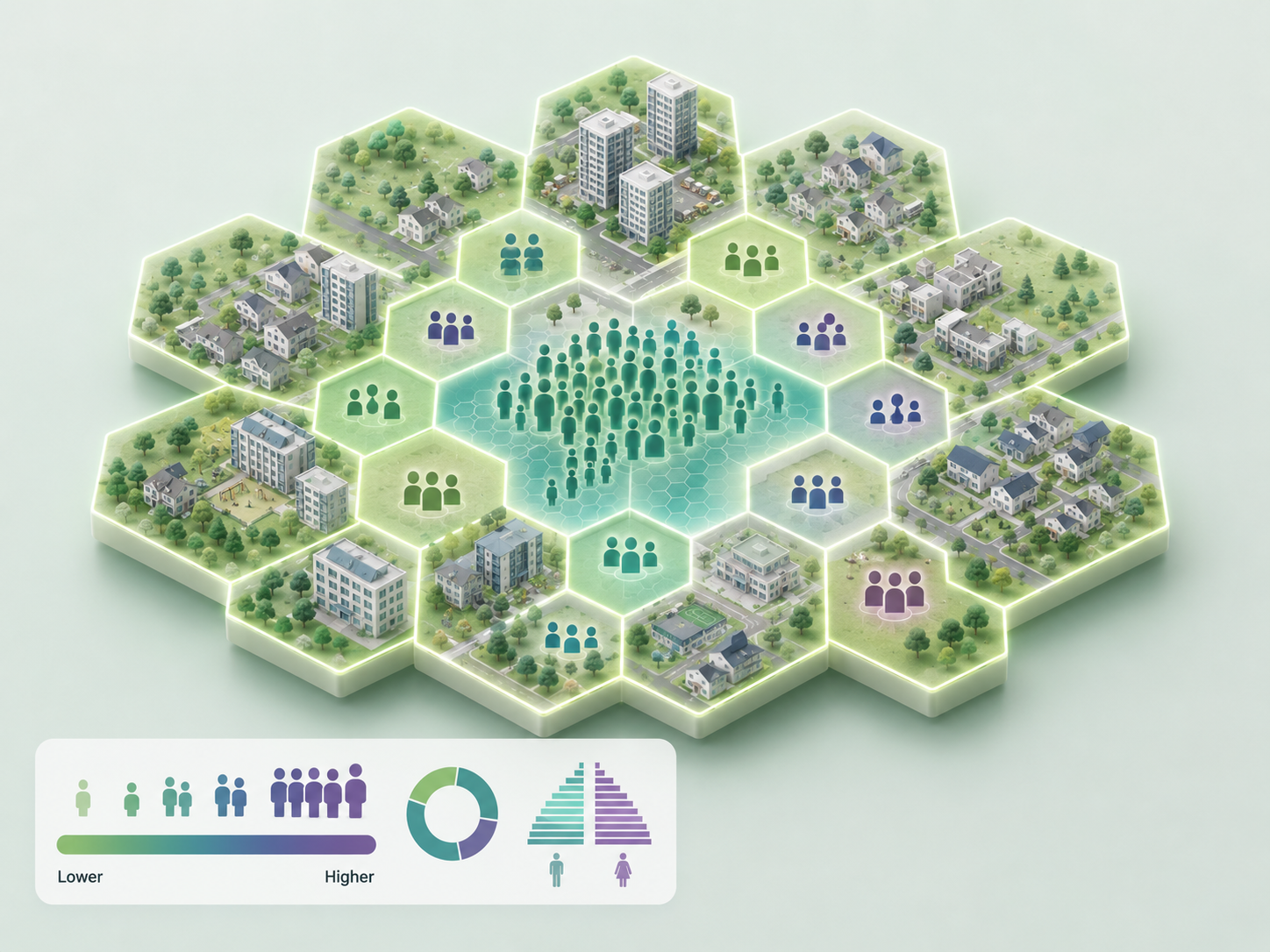
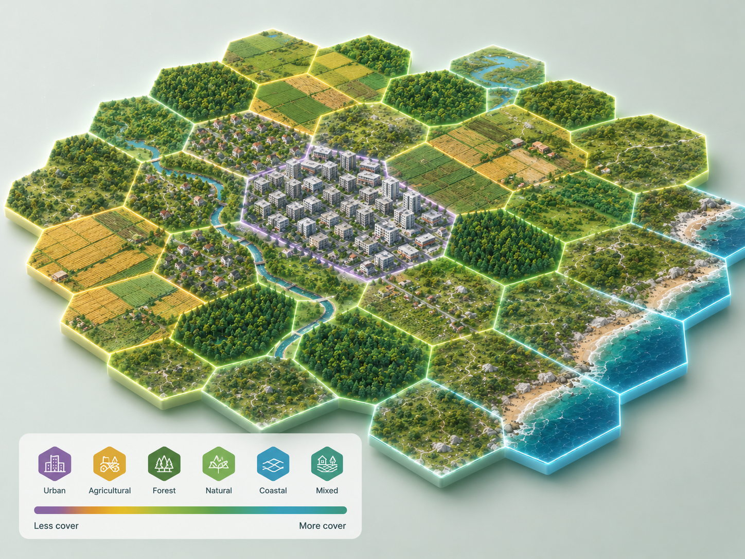
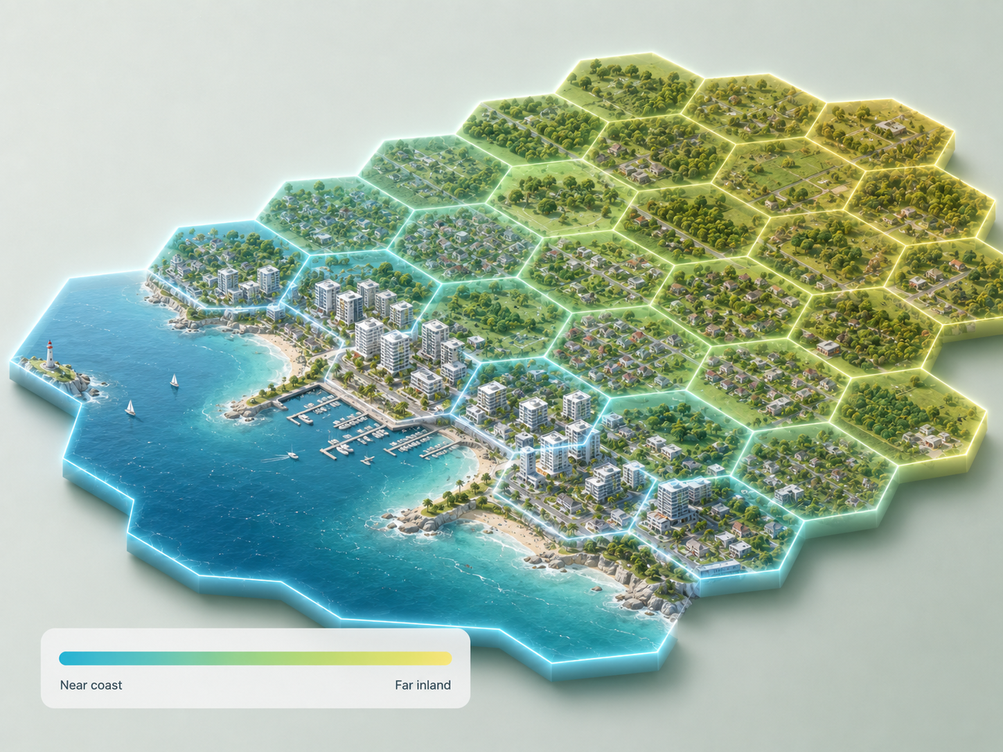
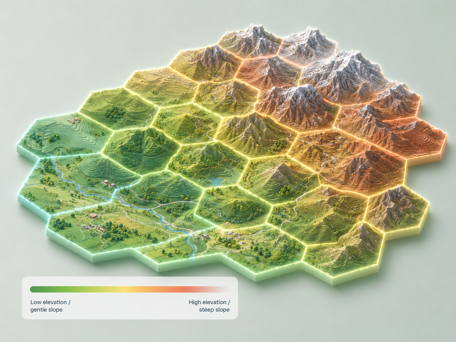
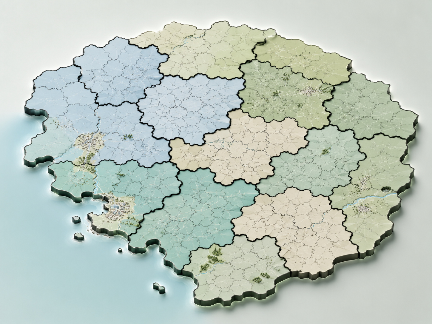
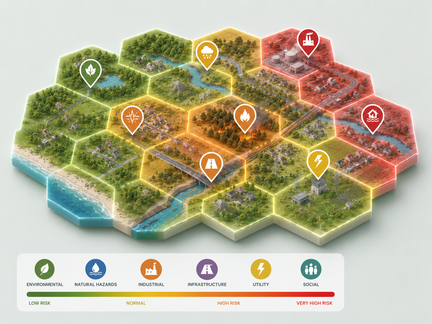
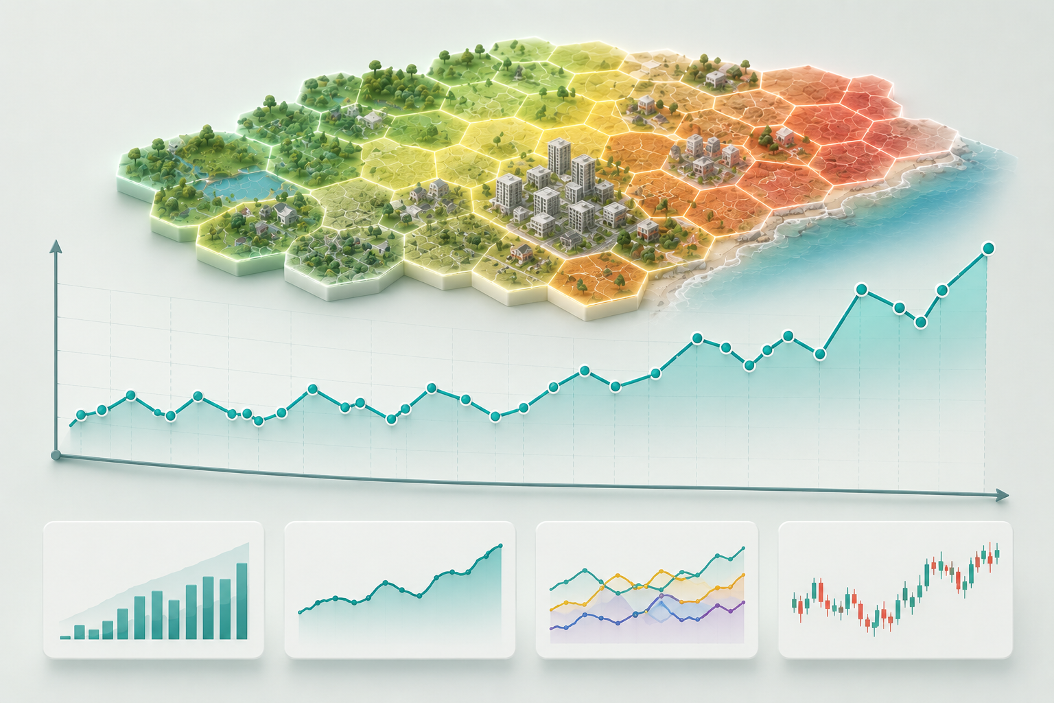



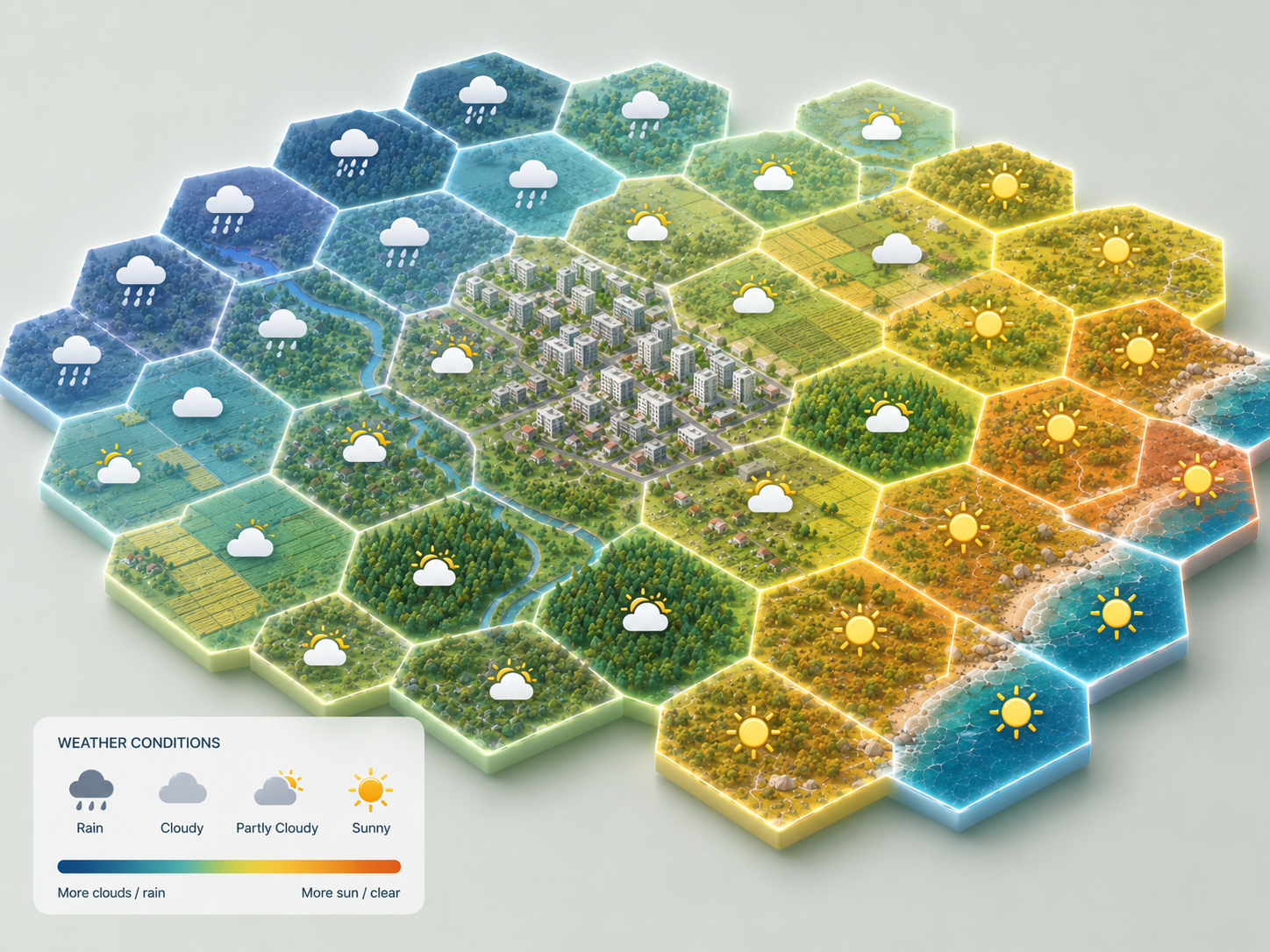
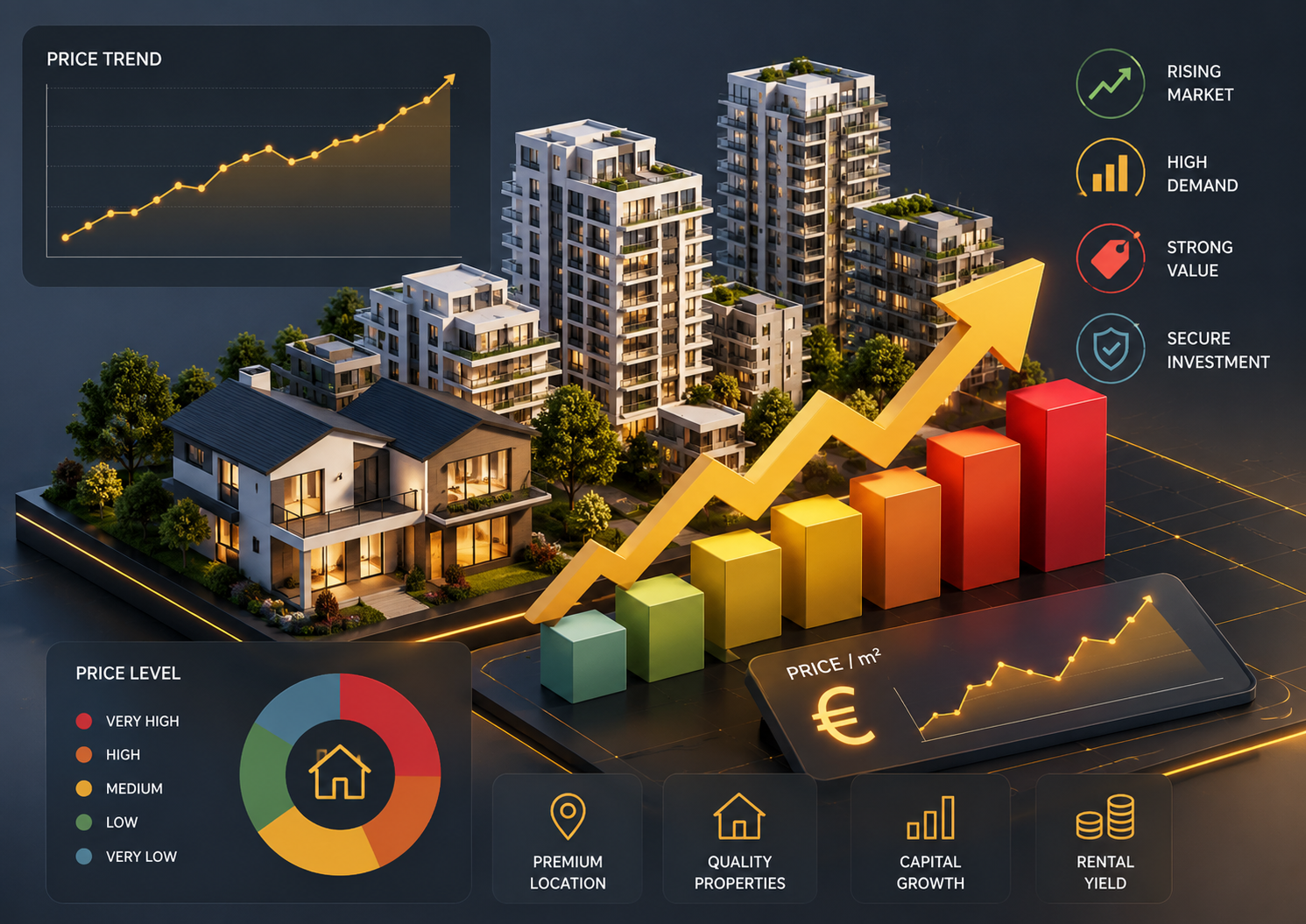
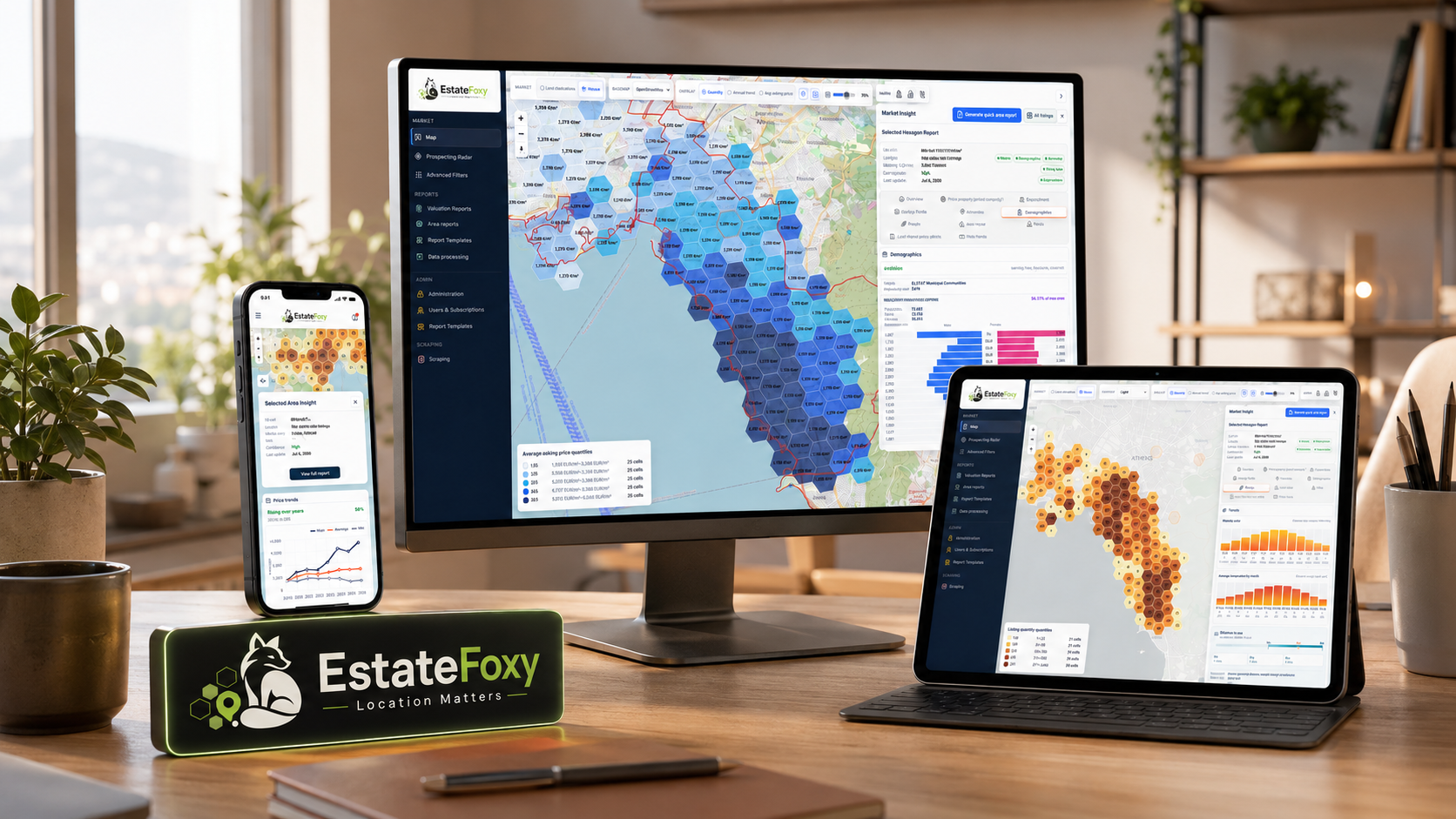
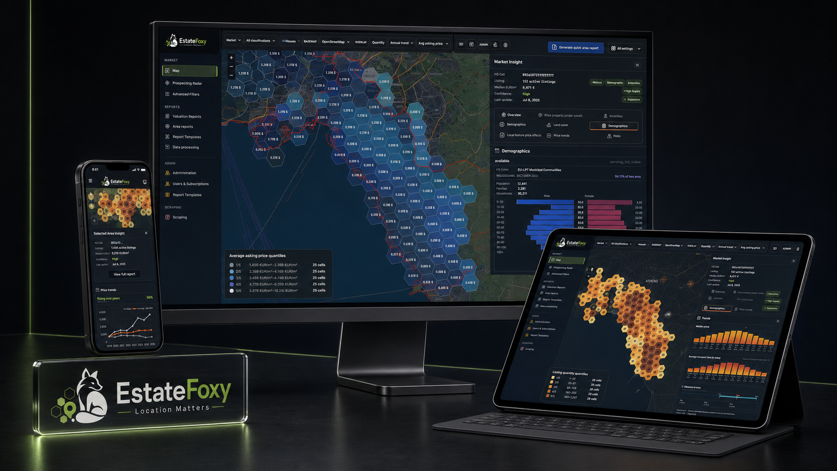
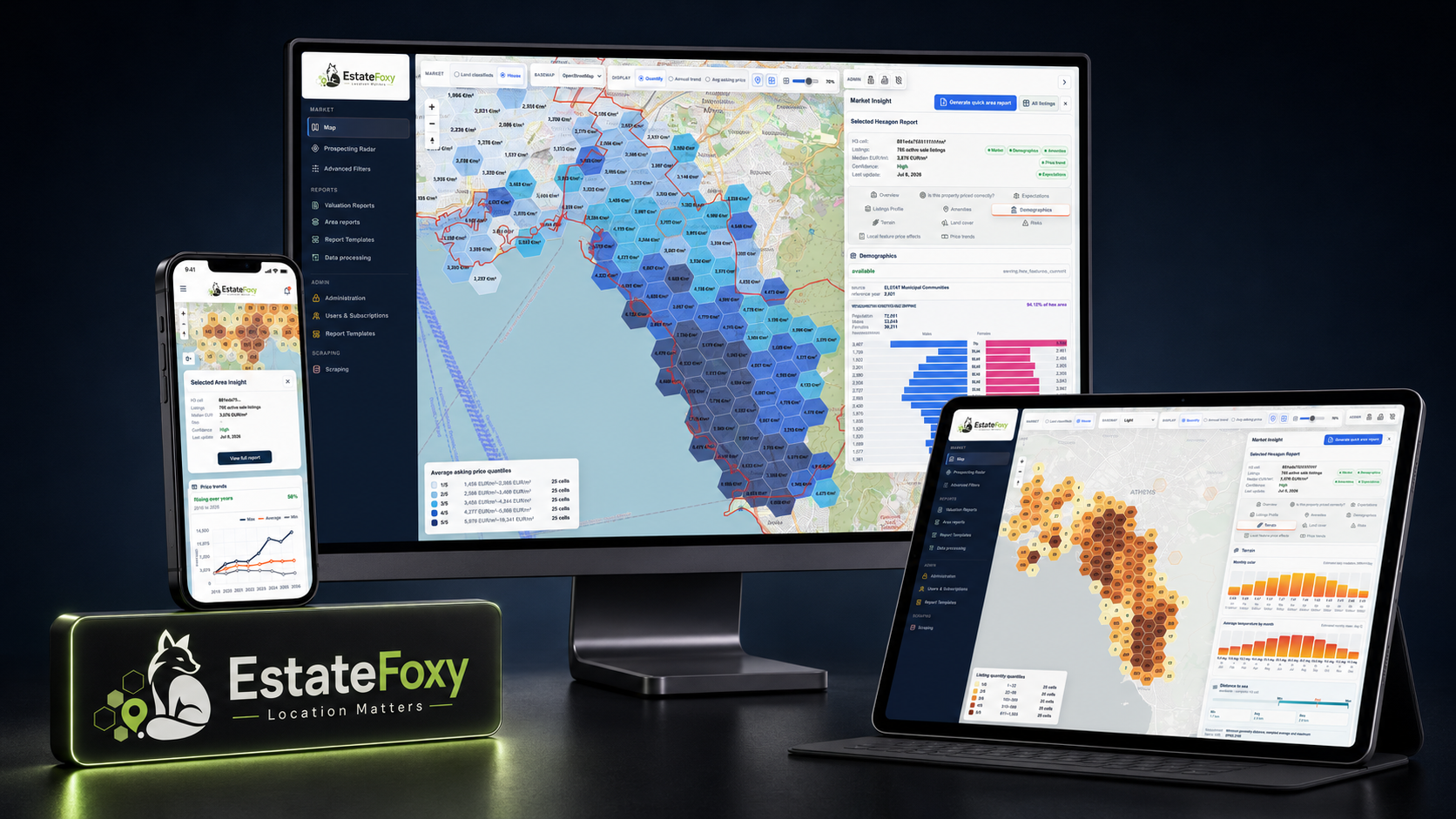
The screenshot set shows how these data families become user-facing workflows rather than loose graphics.
EstateFoxy also keeps brand and interface media available for pages that need stronger product recognition.