Why location intelligence matters in real estate
How amenities, sea distance, demographics, terrain, land cover, and risks help explain micro-area context.

Why location intelligence matters in real estate
Real estate is shaped by location. Two nearby areas can behave differently because their local environment, access, services, risks, and demand profile are different.
Location intelligence helps make those differences visible. It adds context around market activity without reducing the discussion to a single listing or one asking price.
Amenities and services
Amenities describe what exists around an area. These can include schools, shops, health services, transport, restaurants, parks, and other everyday points of interest.
At H3 level, amenity evidence can help explain how convenient or service-rich a micro-area appears to be. The goal is not to say that one amenity automatically creates value. The goal is to give structured evidence about local access and quality of life.

Distance to sea
In Greece, distance to sea can be an important location indicator. It may influence tourism potential, lifestyle appeal, seasonal demand, and buyer expectations.
Distance to sea should be interpreted carefully. A coastal area is not automatically stronger than an inland area. Access, terrain, infrastructure, planning rules, and local market evidence still matter.
Demographics
Demographic context can help explain the character of an area. Population, age structure, household patterns, and local change over time can all support better market interpretation.
At micro-area level, demographics are best used as context. They are signals that help describe demand conditions and community profile, not exact predictions.
Terrain and land cover
Terrain can affect access, buildability, views, road networks, and daily movement. Land cover can show whether an area is urban, agricultural, forested, coastal, or mixed.
These layers help explain the physical setting of an H3 cell. They can also highlight differences between areas that appear close on a simple map but behave differently in practice.
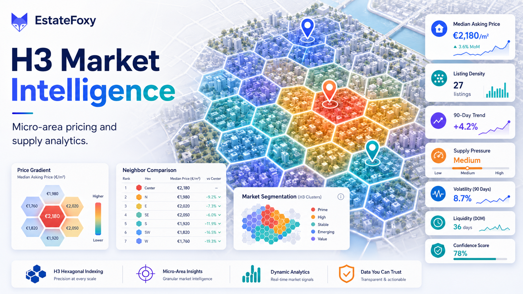
Risks
Risk context may include environmental, infrastructure, or local exposure indicators. This evidence should be handled with care and confidence notes.
Risk indicators are not final legal or engineering conclusions. They help identify where further due diligence may be needed.
Better evidence, better conversations
Location intelligence gives agents, valuers, investors, and organisations a clearer way to discuss micro-area conditions.
It supports careful language: indicators, evidence, confidence, trends, and context. That is much stronger than relying only on isolated listings or broad neighbourhood labels.